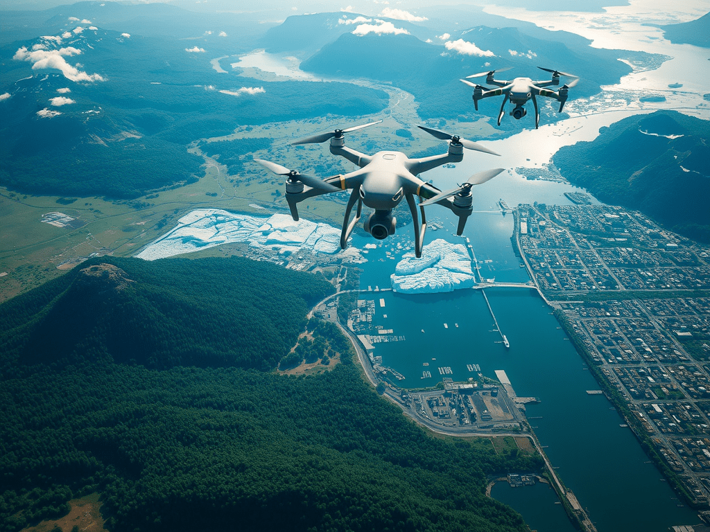
What are Geospatial and Remote Sensing Technologies?
Geospatial and remote sensing technologies use satellite imagery and aerial data to analyze environmental conditions and changes. These technologies play a crucial role in monitoring climate-related phenomena.
Applications in Climate Action
– Land Use Monitoring: Track deforestation, urbanization, and land degradation.
– Carbon Stock Assessment: Estimate carbon stored in forests and other ecosystems.
– Disaster Response: Provide real-time data during natural disasters for effective response.
Benefits of Geospatial Technologies
– Data-Driven Insights: Enable informed decision-making for climate policies and actions.
– Enhanced Collaboration: Facilitate partnerships among governments, NGOs, and private sectors.
– Improved Resource Management: Optimize land and water use for sustainability.
Conclusion
Geospatial and remote sensing technologies are vital tools for addressing climate challenges and promoting sustainable practices.